About
The Mission
Precision aerial intelligence. No shortcuts. No compromises.
01 //Origin
Why We Fly
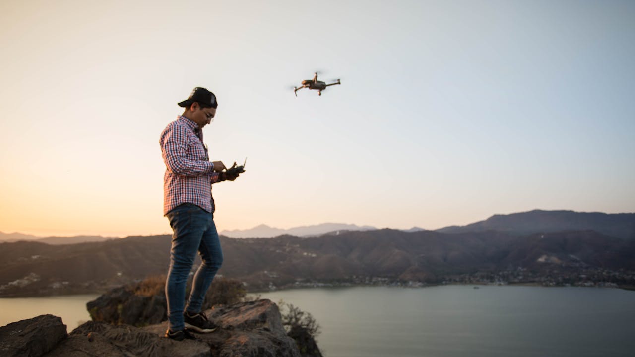
Privé Vantage started the way the best companies do. From the ground up. Founded by a working farmer who saw firsthand how aerial data could transform the way we manage land, inspect assets, and make decisions.
What began as scouting fields from above grew into a full-service drone operation serving agriculture, construction, real estate, and industrial clients. We bring the same precision to every flight that we bring to every season in the field.
We're not a tech startup playing with drones. We're operators who understand the industries we serve because we come from them. That's the Privé Vantage difference.
02 //Principles
Operating Standards
No data point is worth a safety risk. We follow strict pre-flight protocols, maintain current certifications, and will always postpone rather than fly in marginal conditions.
We calibrate before every flight and process with industry-standard workflows. The data we deliver is accurate, consistent, and ready for professional decision-making.
We take the time to understand your operations, recommend the right solutions, and adapt as your needs evolve. We succeed when you succeed.
03 //Certifications
Licensed & Compliant
Current certification with recurrent testing. All pilots.
Comprehensive coverage. COI available on request.
Real-time FAA airspace approval for controlled operations.
04 //Equipment
Enterprise Fleet
High-resolution RGB, radiometric thermal, multispectral sensors.
Centimeter-level accuracy for survey and mapping.
Airborne LiDAR for terrain mapping through dense vegetation.
Industry-standard photogrammetry, GIS, and analysis platforms.