01 //Aerial Intelligence
See Everything.
Precision drone operations for the industries and fields that demand accuracy, safety, and results.
02 //Capabilities
What We Deploy
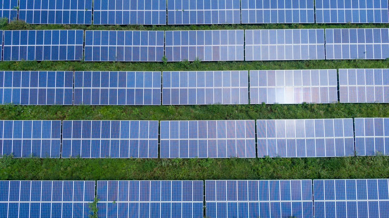
Industrial Inspections
Roofs, towers, bridges, solar, wind turbines. No scaffolding. No shutdowns. No risk.
Learn More → 02Mapping & Surveying
Orthomosaics, elevation models, 3D point clouds. 2cm accuracy. 500 acres per day.
Learn More → 03Precision Agriculture
NDVI crop health, irrigation analysis, precision spraying. See problems before they spread.
Learn More → 04Aerial Photography
4K cinematic footage. Real estate, commercial, events. Perspectives that sell.
Learn More → 05Thermal Imaging
Radiometric heat mapping. Energy audits, electrical faults, moisture intrusion. See the invisible.
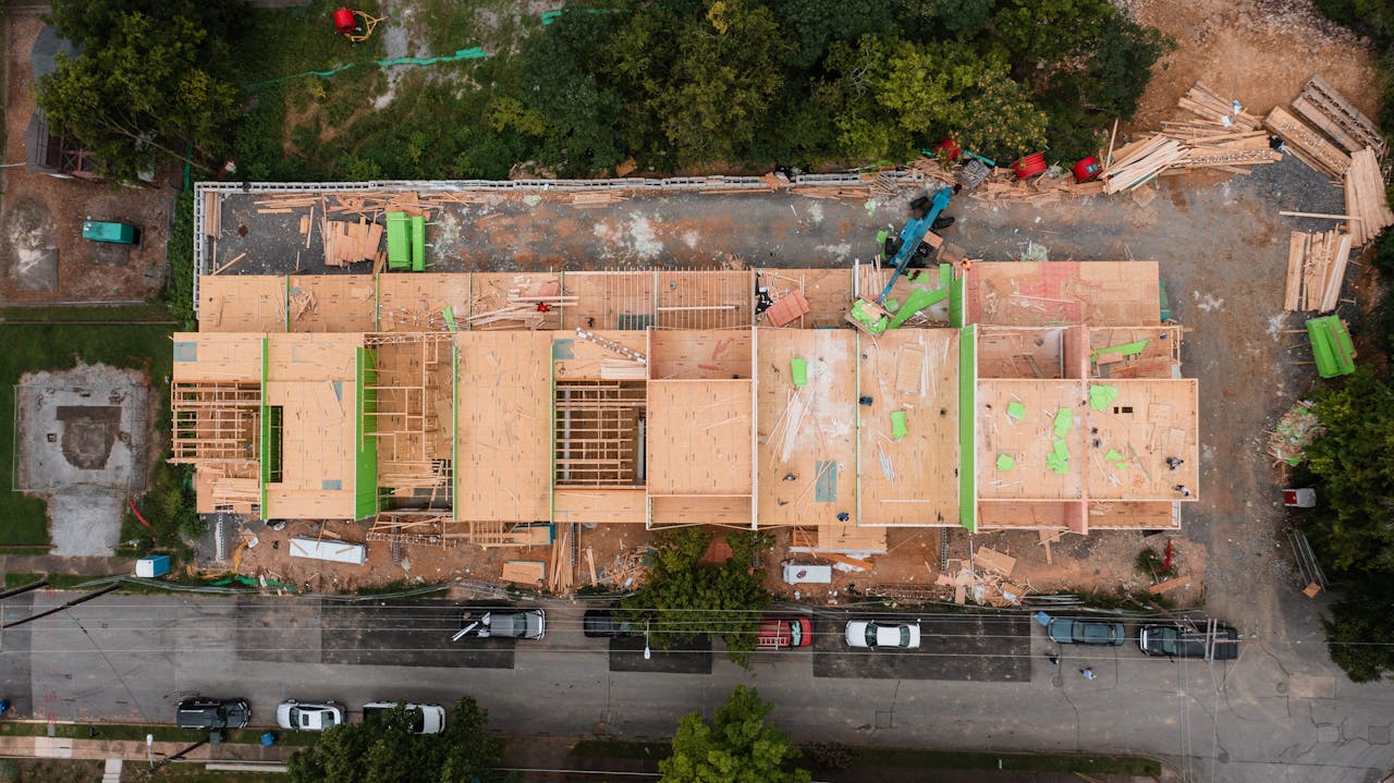
Learn More → 06Construction Monitoring
Progress documentation, volumetric analysis, stakeholder reports. Every phase, from above.
Learn More →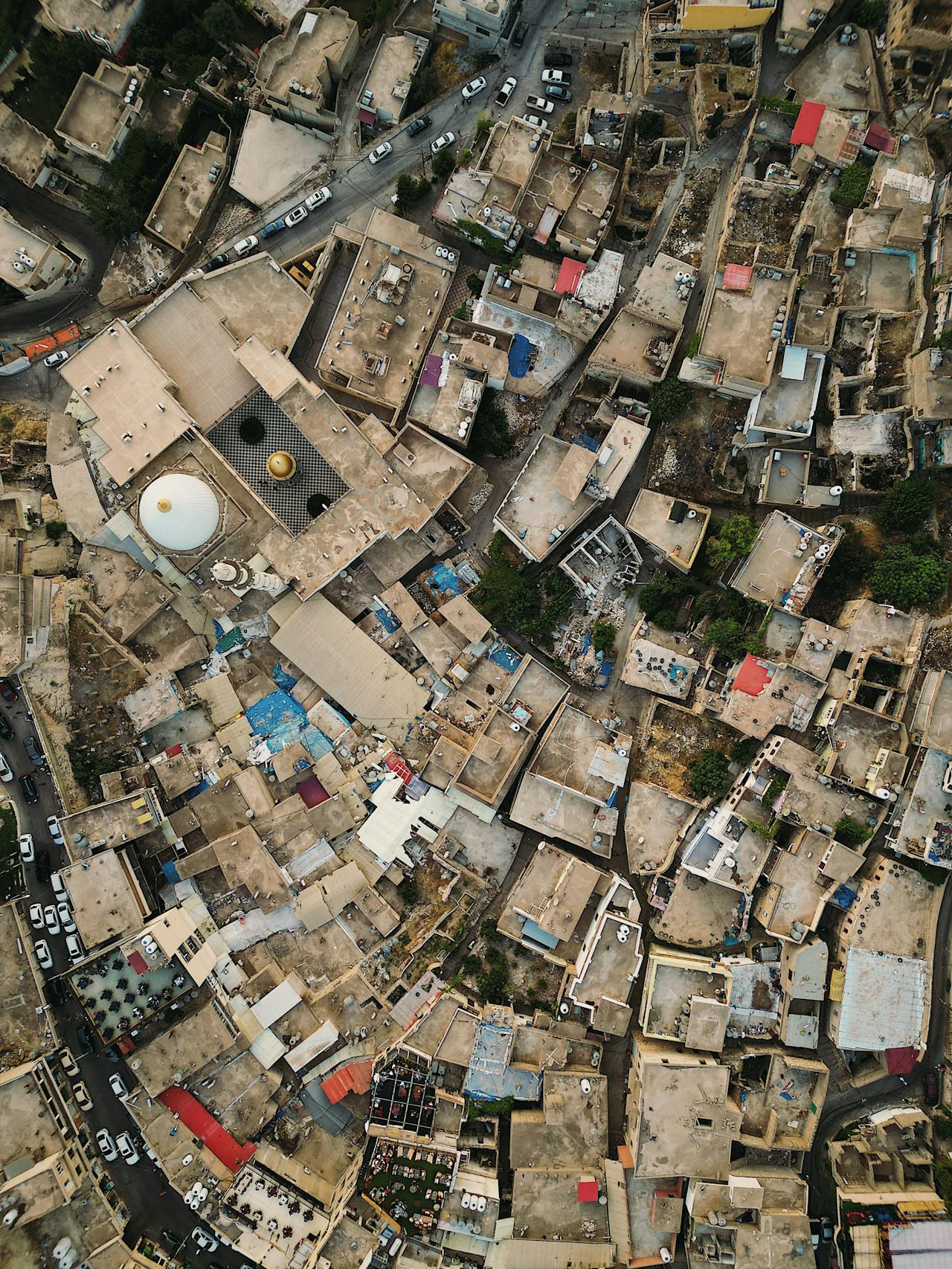

04 //Credentials
Why Operators Trust Us
Part 107
FAA certified remote pilots. Full regulatory compliance. Active airspace authorization.
Insured
Comprehensive commercial liability. Certificates of insurance on request. No gaps.
24-Hour
Rush delivery available. Standard turnaround in 48-72 hours with full deliverables.
Local
We know the area, the airspace, and the regulations. Trusted by the community we serve.
05 //Begin
Ready to Deploy?
Every mission starts with a conversation. Tell us what you need. We'll tell you exactly how we'll deliver it.